Atlas Portatif et Itineraire de L’Europe. Pour Servir D’Intelligence Au Guide des Voyageurs Dans Cette Partie Du Monde; Compose de Treize Cartes et Vues.
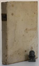
Huitième Edition. Paris, Chez Hyacinthe Langlois, Libraire – Geographe, 1817. 22 x 15 cm. Half title, title page, followed by 10 (of 13) folding Maps. See list below. Full vellum. New spine label. Good condition. Lacking two of the alpine panoramas and the map of Italy. Remaining maps in good to very good condition. Some dust dulling, edgewear and mild staining.
EUR 150,-- Order